

Join the Tide API Beta
Get complimentary Test Environment access to test our coastal station predictions and local hydrodynamic models in exchange for your feedback.
Get Early AccessTide API
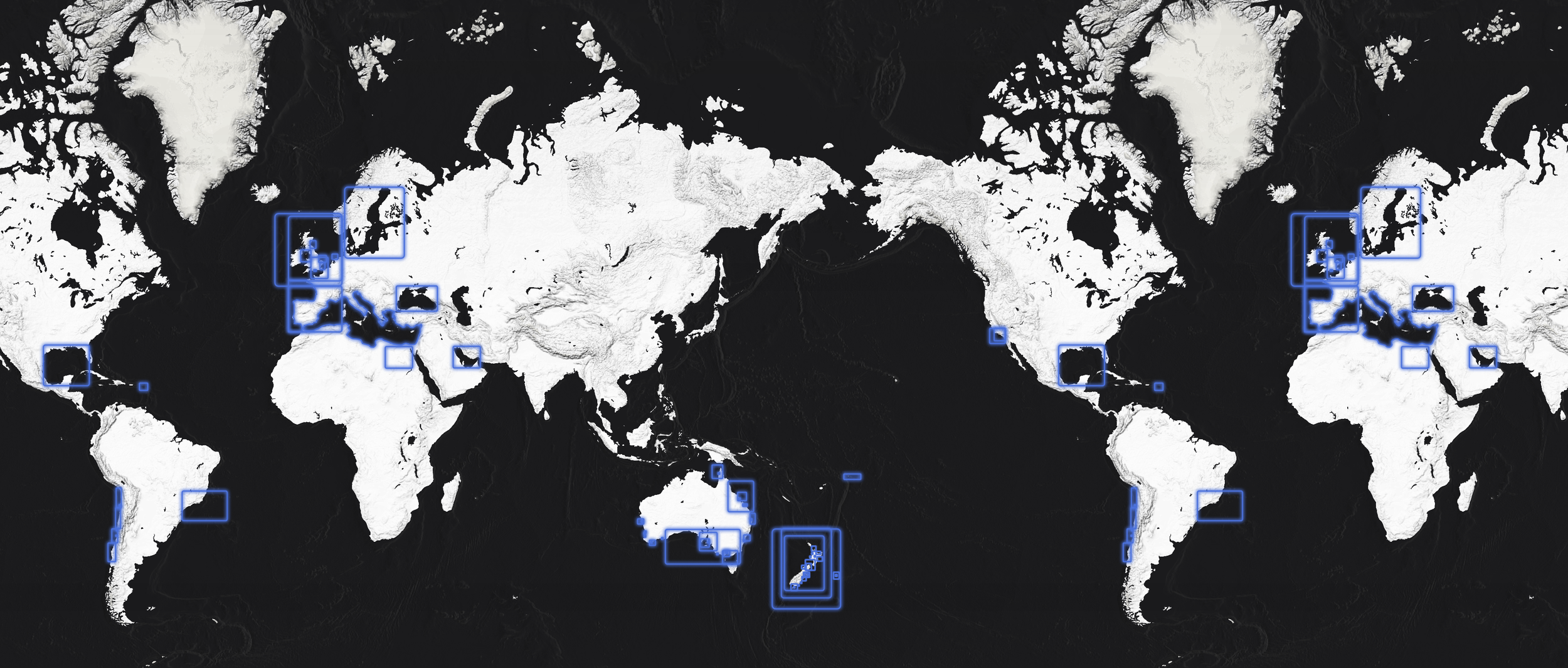
Build with confidence using New Zealand's authoritative Tide API. Powered by official Land Information New Zealand (LINZ) hydrographic data, our own high-resolution local tide models, and global tide predictions for worldwide coverage.


In a market full of global-model aggregators, go straight to the source measurement. Our Tide API is built on official data from Land Information New Zealand (LINZ) , delivering the high-precision predictions from tidal stations used by maritime authorities. Ensure your application rests on a foundation of truth.
The Official Source
Why this matters:
Reduce Risk: Unverified data can lead to costly errors. Using authoritative data protects your reputation and your users.
Auditability: When your users ask where the predictions come from, you can point directly to New Zealand's official hydrographic authority and MetOcean's expertise.
Continuity: Official sources are government-mandated, offering long-term stability that third-party aggregators cannot guarantee.

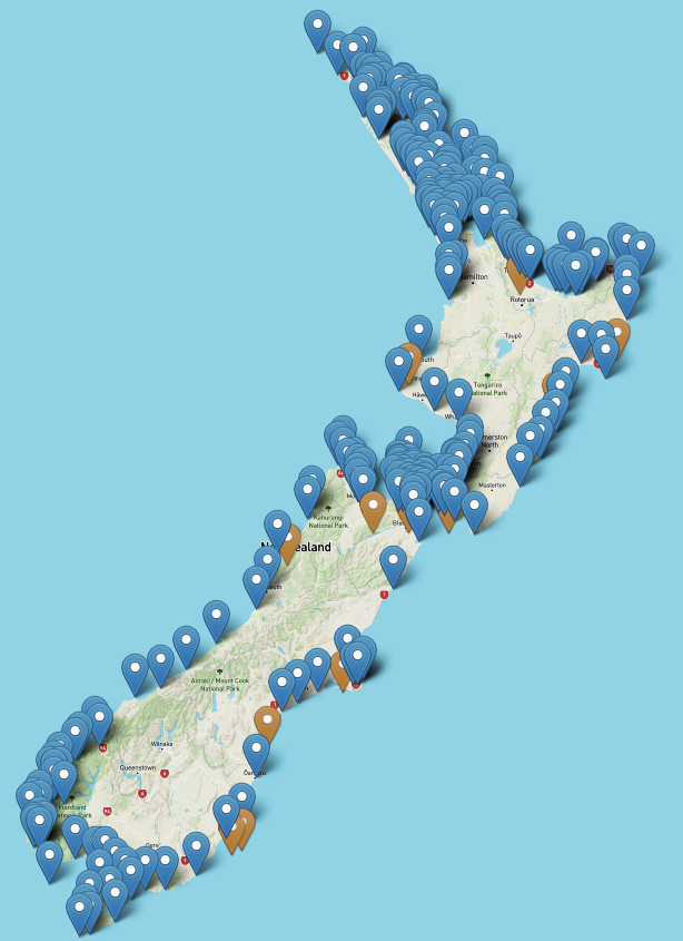
Unmatched Local Precision
Most providers just rely on generic global tide models. While we offer this for global coverage, we go even further. For New Zealand waters, we use our own high-resolution local hydrodynamic models specifically tuned for our complex coastline.
Why this matters:
Physics, Not Just History: Hydrodynamic models simulate the actual physics of water movement—gravity, friction, and bathymetry—rather than just repeating past patterns.
Complete Coverage: Because the model understands fluid dynamics, it delivers accurate predictions for any point on the coast, not just where a physical station gauge sits.
Complex Coastlines: Our local tuning accounts for New Zealand's unique straits, bays, and shallow shelves that global models often miss.
10+ Year Horizon
Forecast horizon
Down to 10min
Forecast intervals
LINZ & TPXO9 models
Data sources
Global & Local
Forecast coverage maps, coming soon…
Tidal Height: Time-series relative to LAT/MSL
High/Low Tides: Times and Heights of High and Low water
Harmonic Constituents: Raw Amplitude & Phase
Station Metadata: Position, Source & Datum
Available Variables
Ready to start building?
The Tide API is currently under development. Request early access to receive the developer documentation or join the waitlist to be notified when it becomes available.
FAQs
-
Use Station Data when your application requires official conformity for standard ports (e.g., matching the Nautical Almanac). Use Model Data when you need "tides anywhere" coverage for surf breaks, remote coastlines, or offshore energy projects where no physical gauge exists.
-
We use the official harmonic constituents provided by LINZ, ensuring our predictions match the official tide tables used by mariners across New Zealand.
-
Our API is a live service, but we offer endpoints that allow you to fetch data for future dates (up to a year in advance), which you can cache locally for offline functionality in your apps.
-
"Tide" typically refers to the astronomical tide predictions (High/Low times). "Sea Level" provides the predicted water height at specific intervals (e.g., every 10 minutes), which is useful for generating tide curves and graphs.
Have any further questions, contact our helpful team.